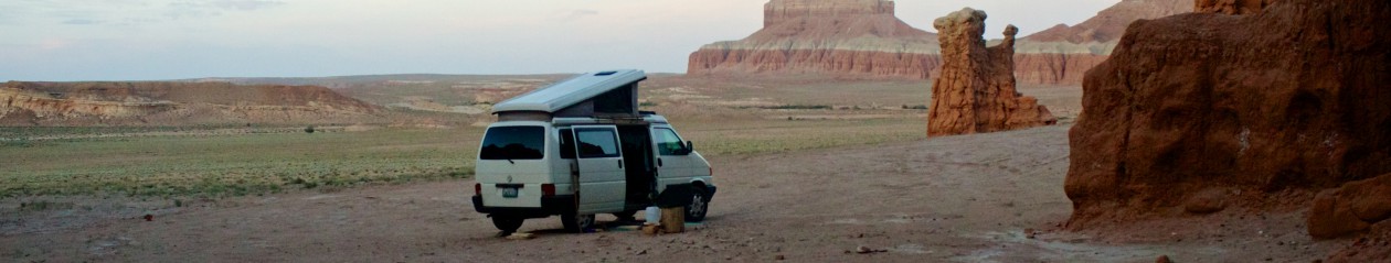

9/5/14-9/8/14
A pause along the Gunnison River, then off to Black Canyon of the Gunnison National Park.
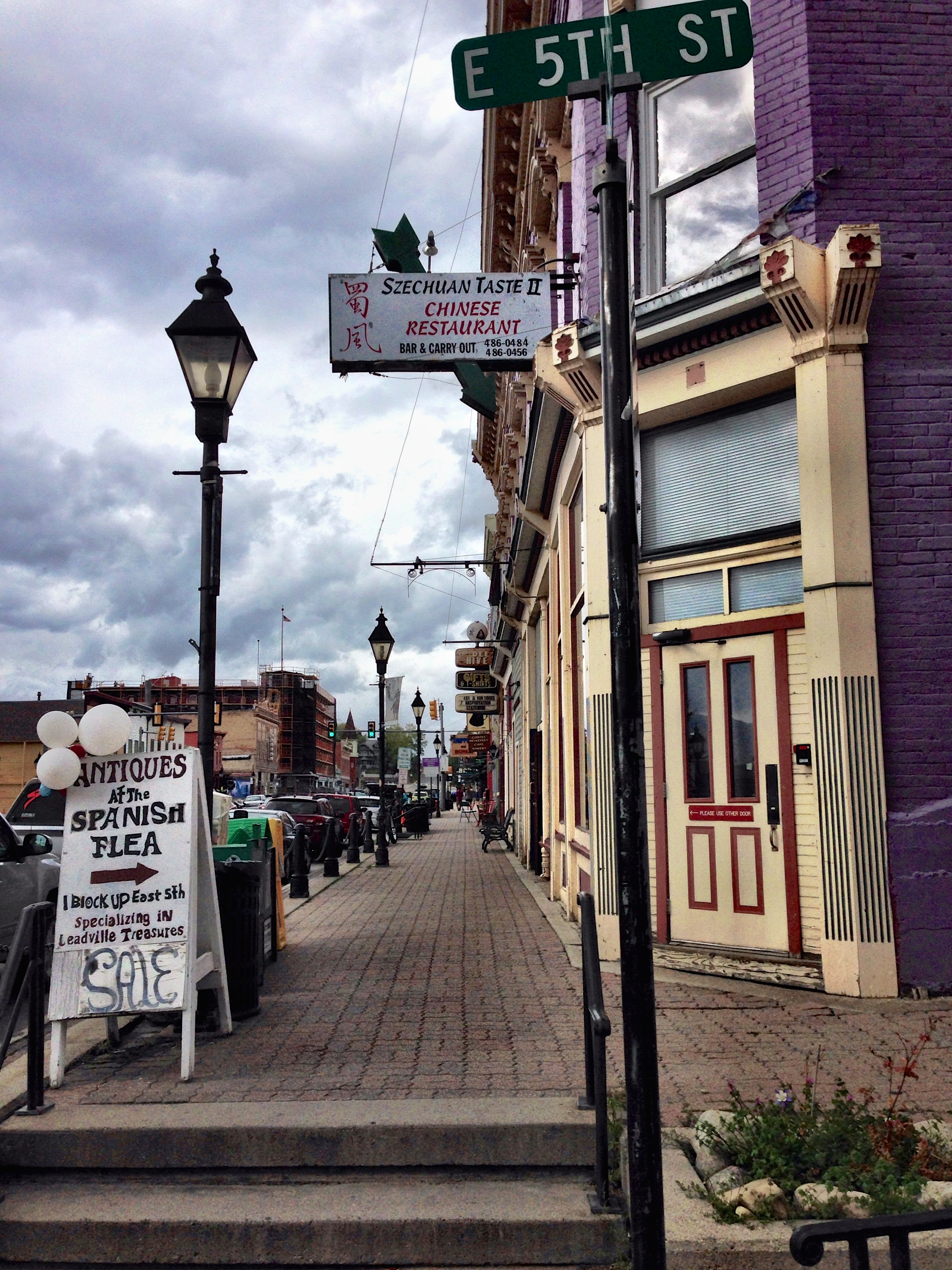
But first we stop off in Leadville for a break. Leadville is the highest incorporated city in the United States sitting at an elevation of 10,152 feet. One of those endearing old Victorian mining towns of which there are many in Colorado. It seems like such a contradiction – Victorian architecture and dirty grimy mining. But those precious metals from the earth enabled 19th century towns to embellish their buildings to no end. And now thankfully they have survived as a bit of American history.

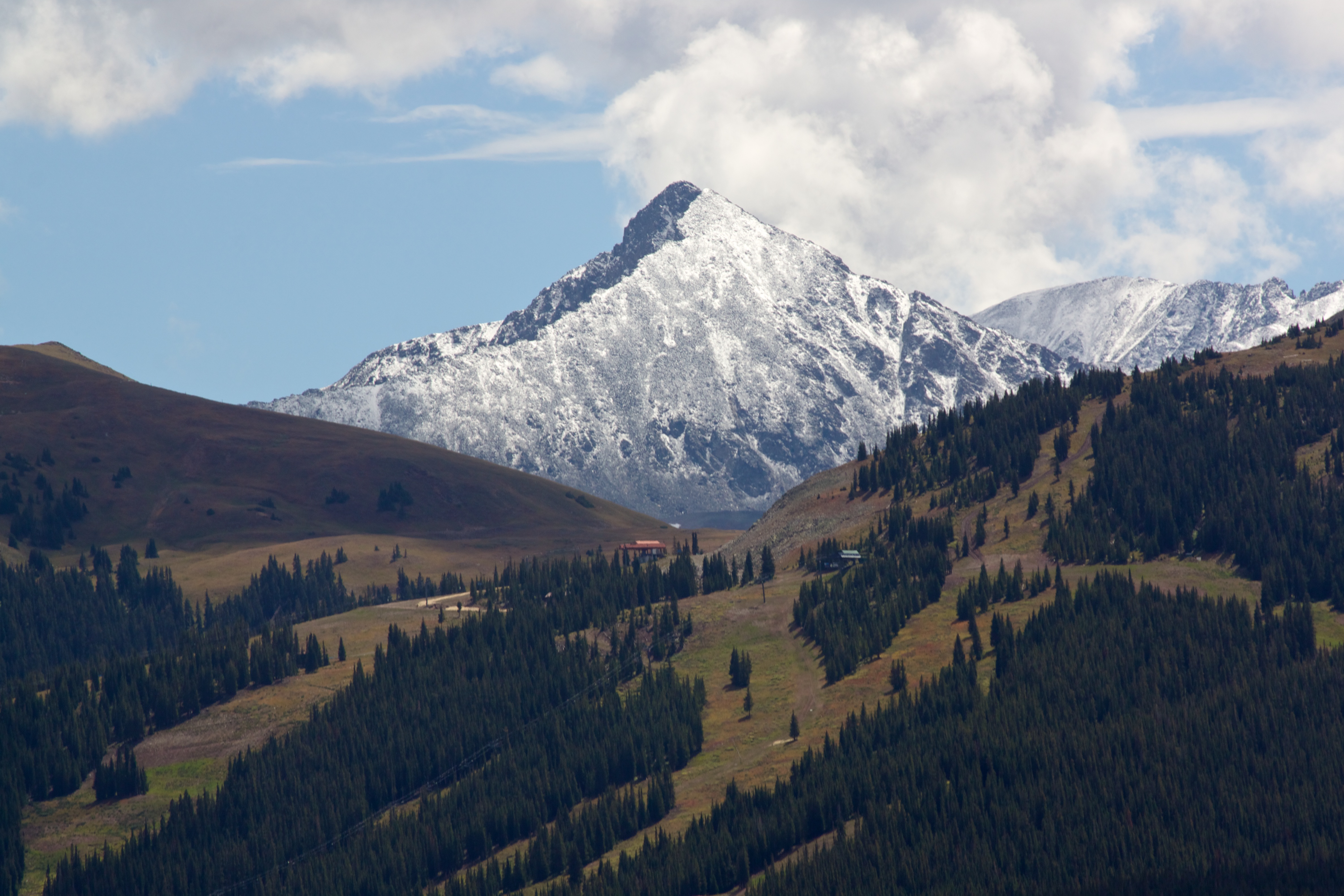
A few more stops over the pass and along the river. A few more snow capped mountains and cold water lakes.


A quick chat along the way with this cute little ground squirrel.

Then finally to the Canyon.
Nature continually amazes us. The unfathomable act of water creating this gorge millions of years in the making, is just mind boggling.
After being over two miles up towards the sky, we now find ourselves peering over half a mile down into seemingly bottomless gorges.
Below us here, the Gunnison River drops an average of 96 feet per mile traveling through this canyon. According to the park, in one two-mile stretch, it drops 480 feet. Scientific minds could probably do some type of math with those numbers times those long years to come to cliff / bottom conclusions, but me, I just accept that Mother Nature is pretty darn cool.
The Earth.


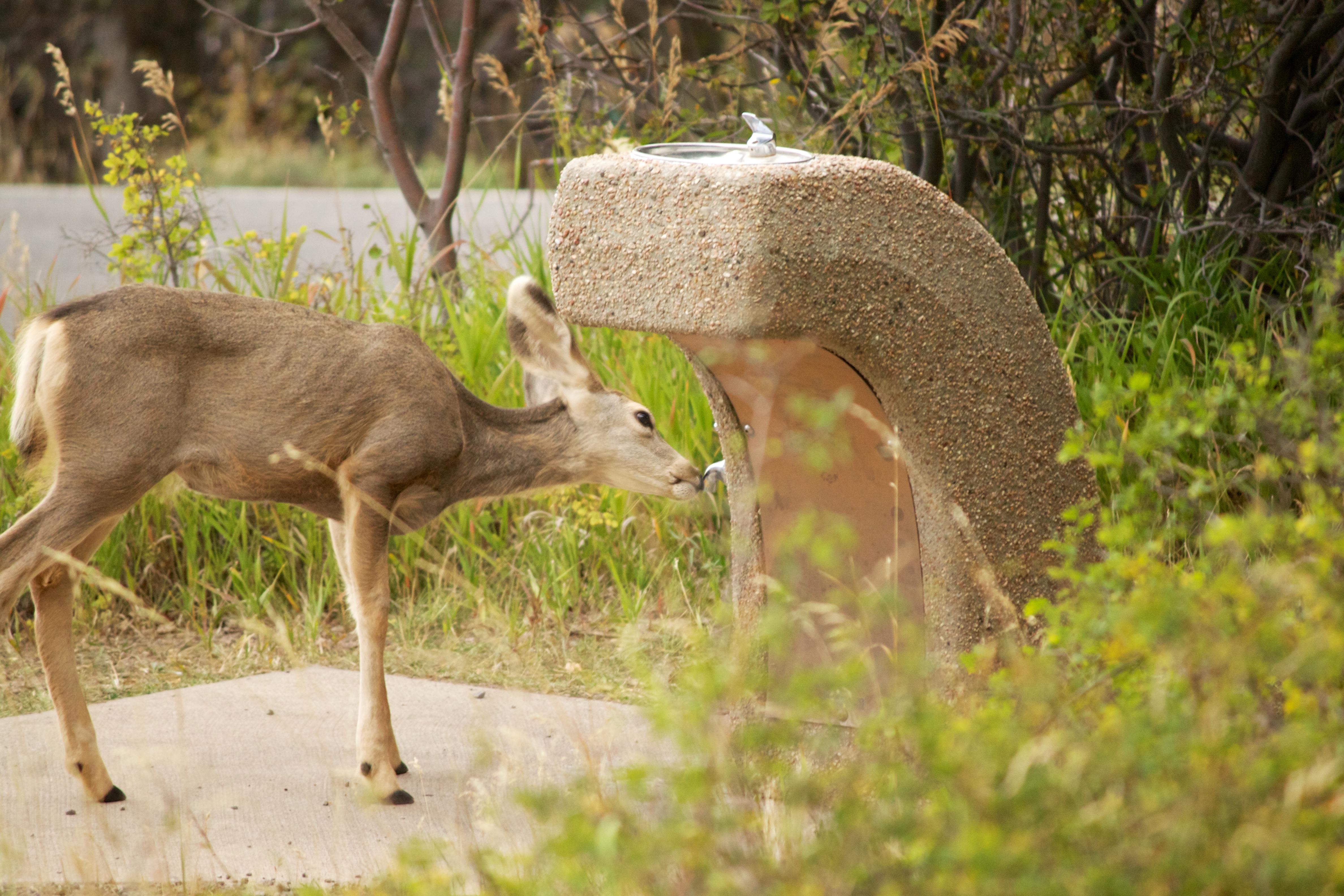
Oh, and we shared our South Rim campsite this time with this young deer, who was obviously quite thirsty, and was able to figure out the calculations of how to get water from this human contraption.
Peace
❧

Reblogged this on PATCO Blog It All… and commented:
More Colorado
LikeLike
very impressive.
LikeLike
Thanks guys…and welcome!
LikeLike